Auckland Light Rail_
Urban Design + Public Realm
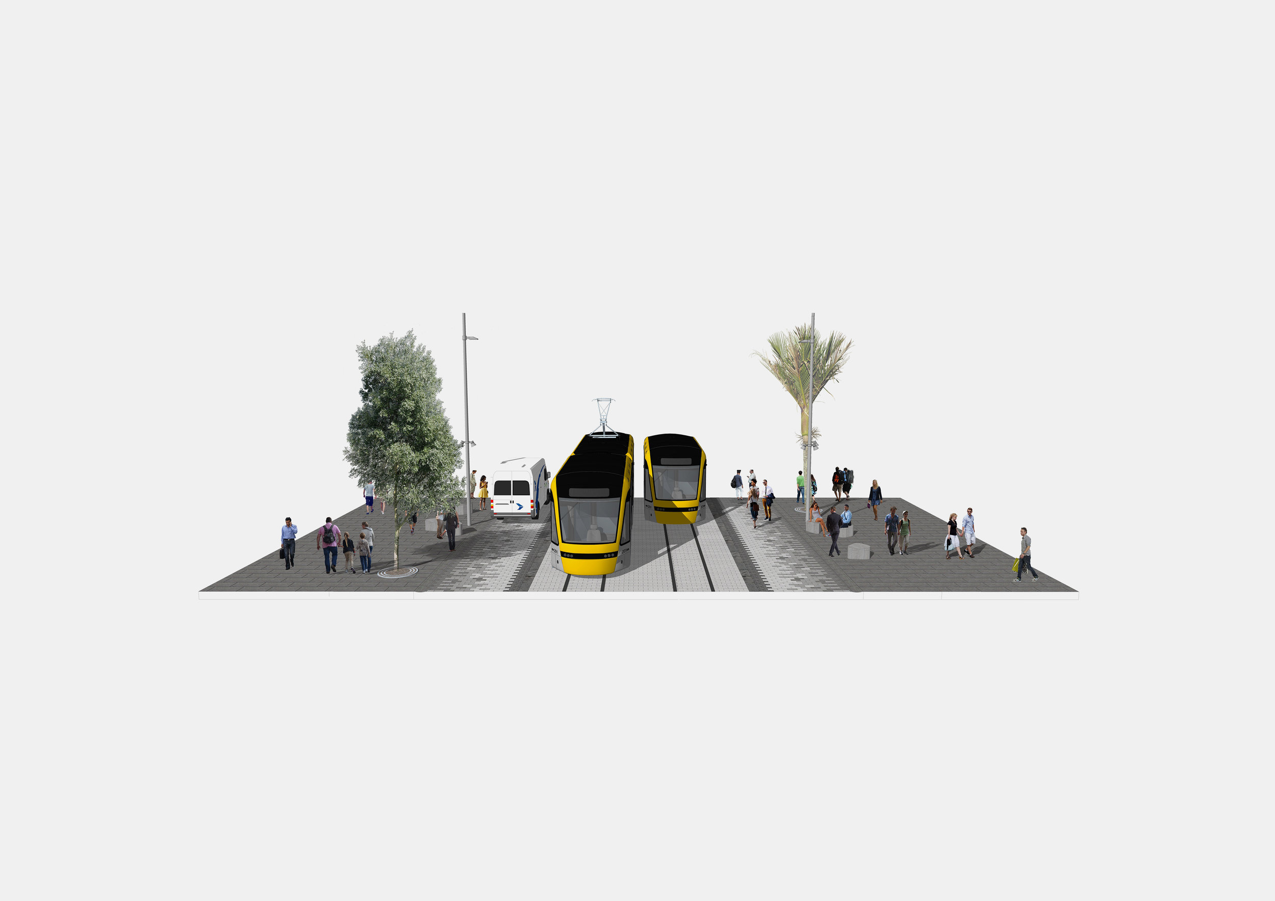
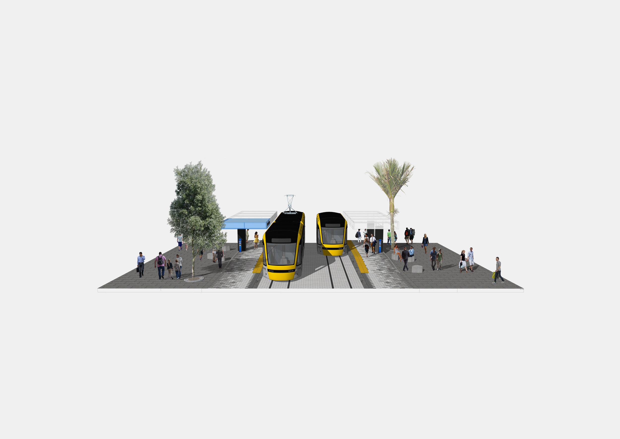
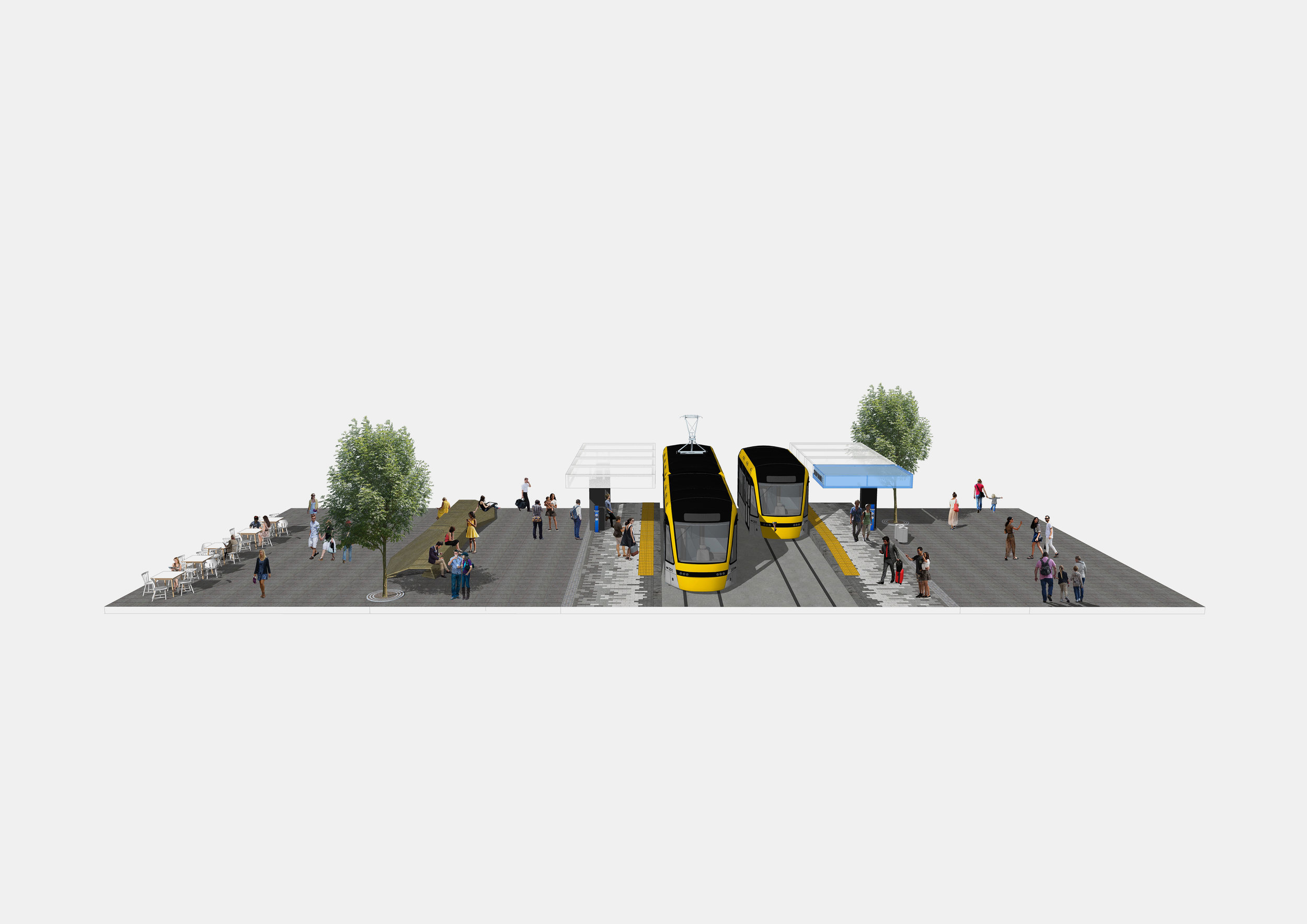
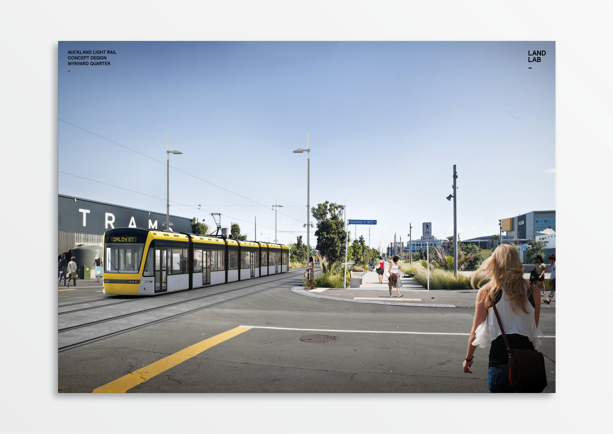
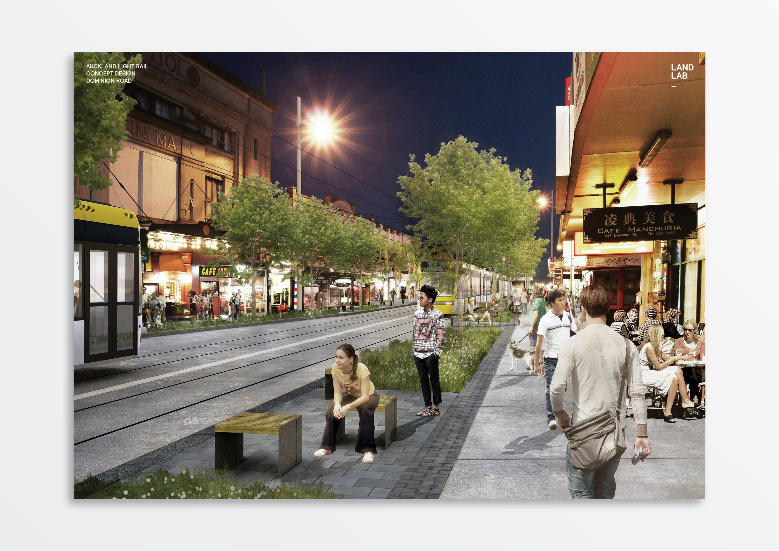
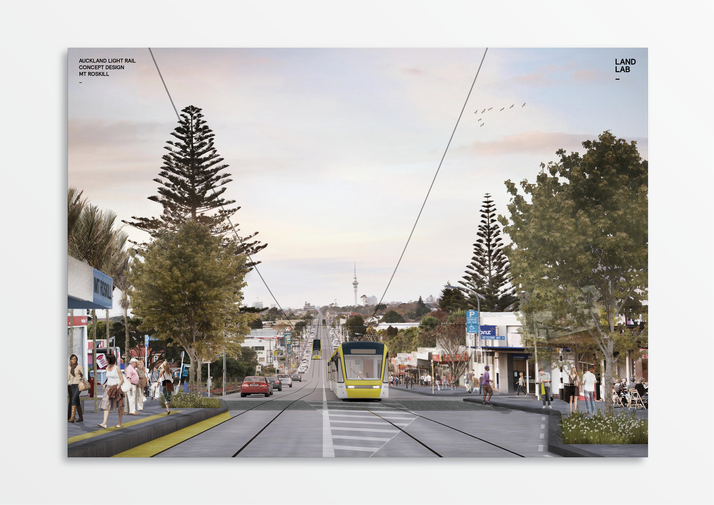
LandLAB are working with JASMAX, ARUP, JACOBS and Auckland Transport to develop an Urban Design Framework and Public Realm Reference Design for Auckland’s Light Rail project running between SH20 and the Wynyard Quarter via Dominion Road and a newly pedestrianised Queen Street_
This transformational strategic project enables alignment of land use and transport infrastructure to achieve a paradigm shift for Auckland’s public transport network. As a companion project to the City Rail Link (CRL), this project changes the way Aucklanders will access and use the city centre.
LandLAB co-authored with JASMAX on the Urban Design Framework (UDF) and provided the design leadership for the corridors public realm and associated walking and cycling infrastructure. The work built on the design outcomes established by the City Centre Future Access Study (CCFAS1 and CCFAS2)
The UDF creates the high-level opportunities and synergies between the corridor and adjacent Wynyard Quarter, City Centre and Dominion Road Village Centres. LRT will provide the catalyst for the intensification of the Dominion Road Corridor and its three main town centres - Eden Valley, Balmoral and Mount Roskill. The project enables the enhancement of walking, cycling and public realm across the network supporting active modes and sustainable transport across the city.
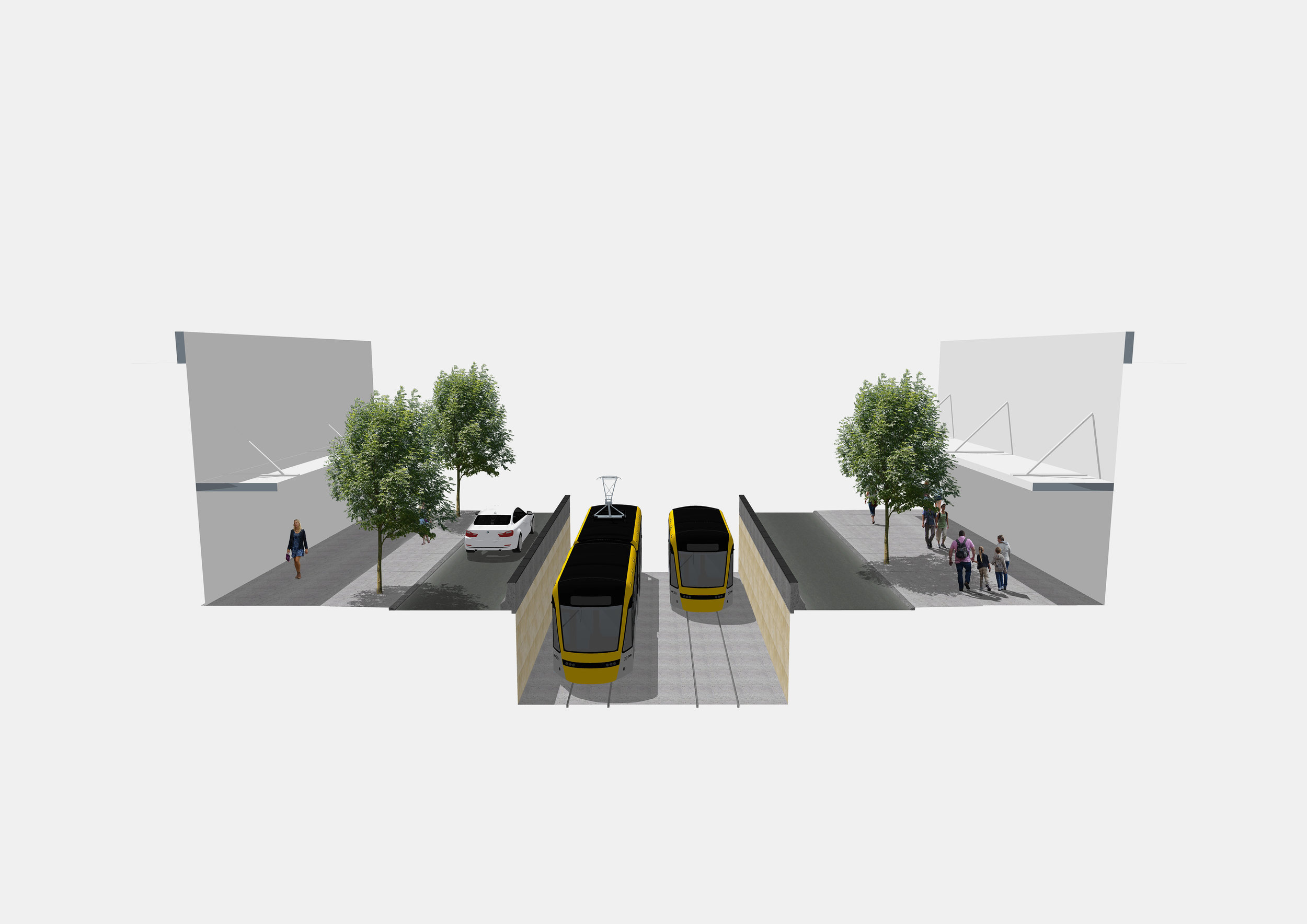
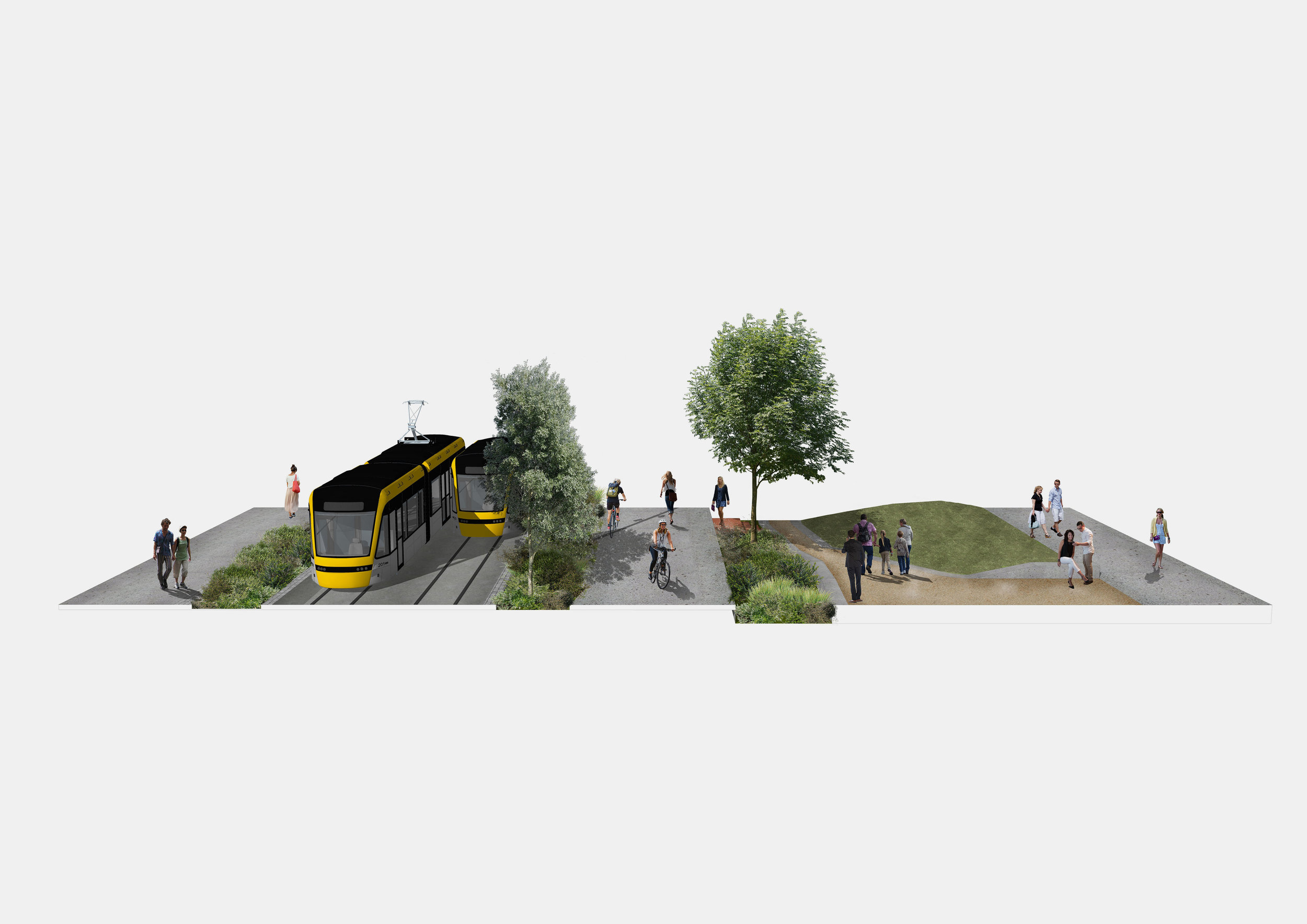
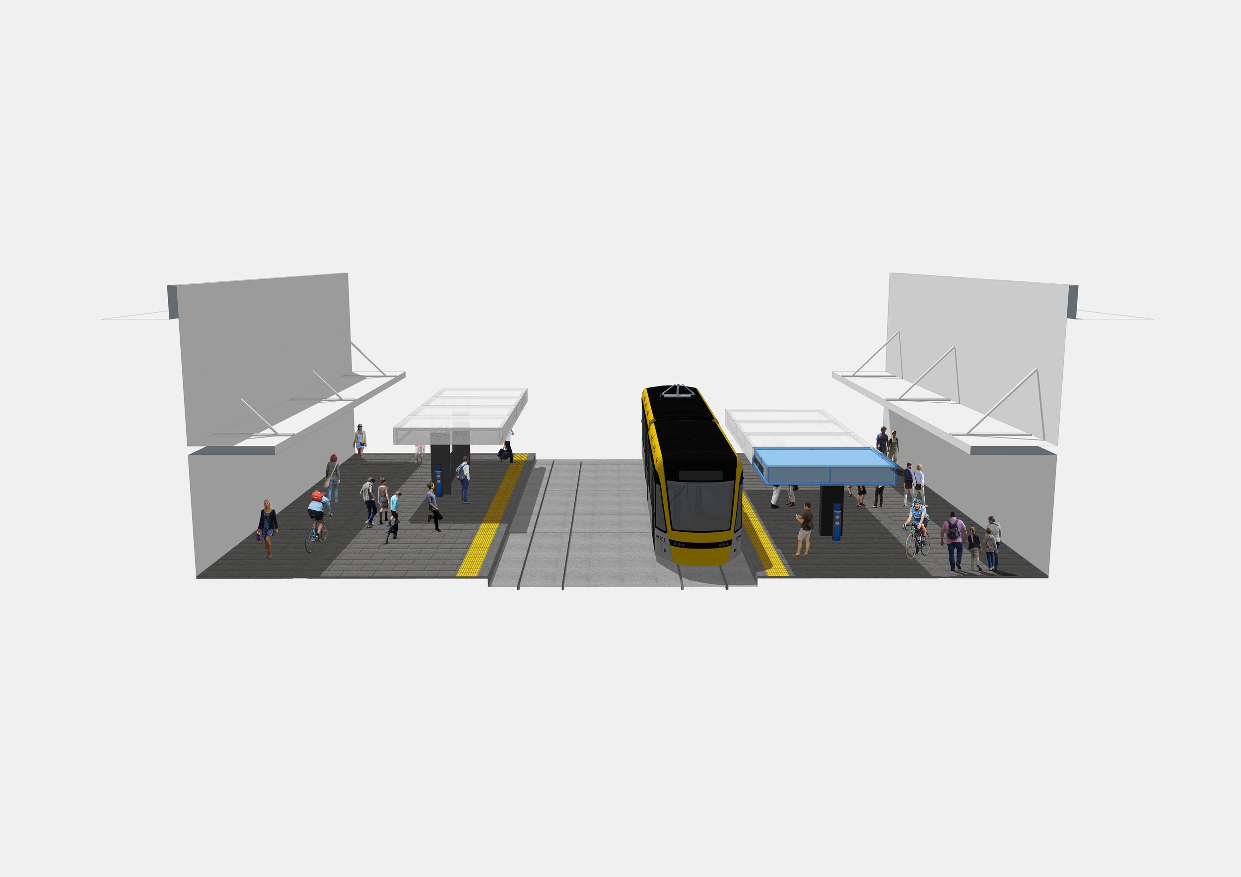
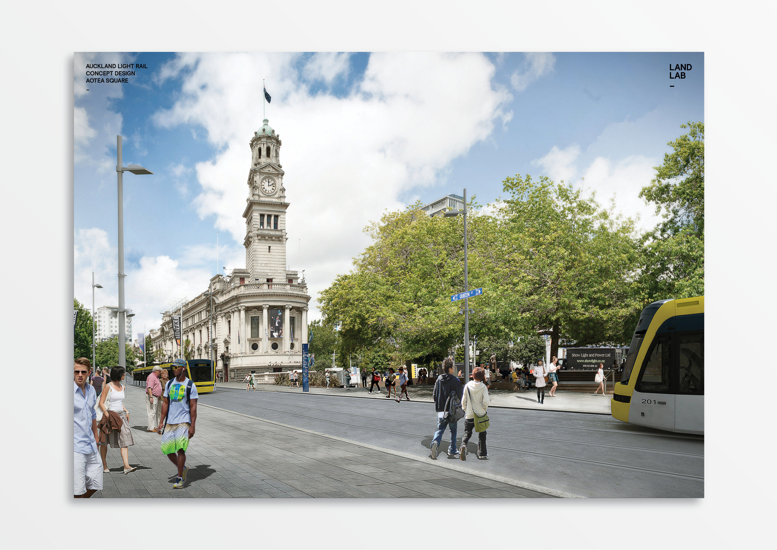
The public realm strategy provides site-specific responses to the corridors key character precincts – Wynyard Quarter, City Centre/Queen Street, Karangahape Road and Dominion Road and its key urban villages. The LandLAB team collaborated closely with the technical engineering design disciplines to integrate the LRV envelope, OLE and track slab into Auckland’s challenging narrow and topographical street network. We applied local and international best practice design standards in the context of existing Auckland Design Guidance such as the Te Aranga Design Principles, Auckland Design Manual, Roads and Streets Framework (RASF) and Auckland Transport’s Traffic Design Manual (TDM).
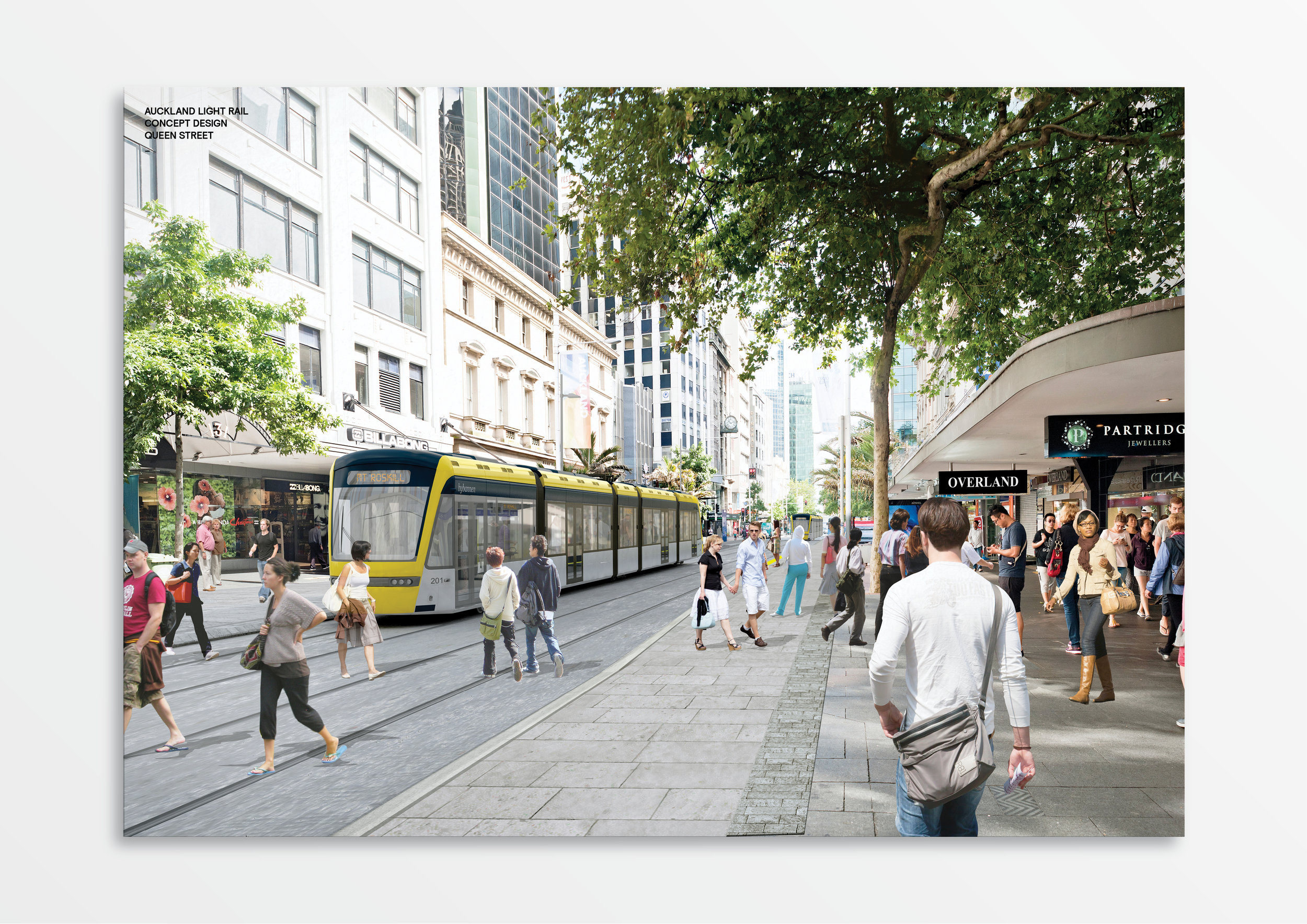
In parallel, LandLAB developed the city centre’s streetscape amenity and improved walking and cycling provision while releasing the strategic potential of the Queen Street valley as a pedestrian priority precinct as proposed by Auckland Council’s City Centre Masterplan CCMP (2012). The pedestrianisation of Queen Street creates a paradigm shift for the city centre from one bisected and dominated by cars to a highly connected and walkable spine for the city centre.
Location_ Auckland, New Zealand
Client_ Auckland Transport (AT)
Date_ Current
Budget_ $6b
Collaborators_ ARUP + JACOBS + JASMAX
